 |
| Entering the Suez Canal |
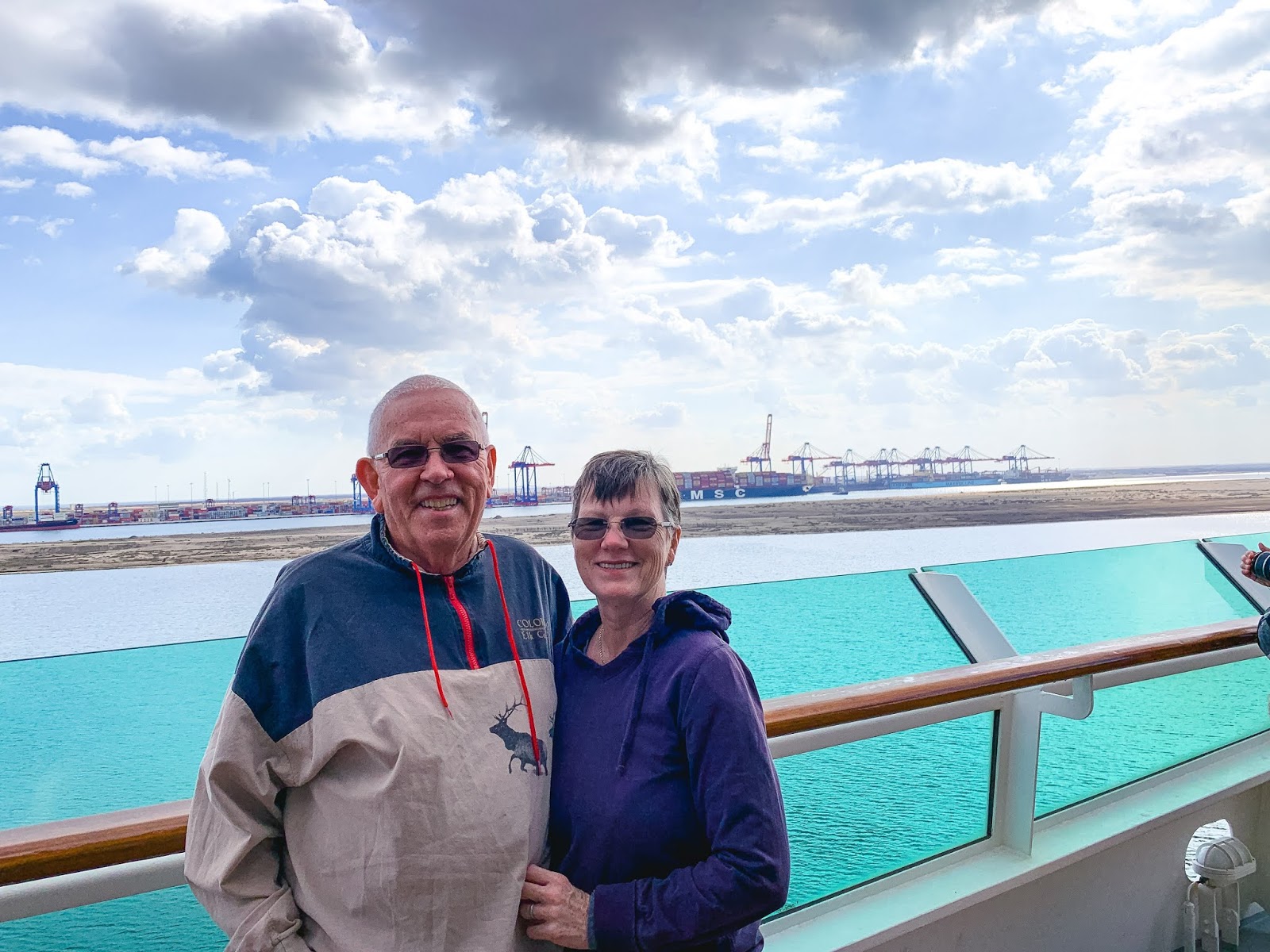
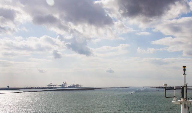
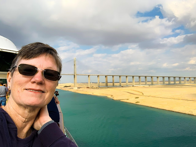
The Suez Canal was much different than what we expected. We thought for sure it was a very small “canal” such as the Panama Canal is with locks and a very narrow passage. This appears to be more like a river as some guests on the ship have put it. As I mentioned earlier, it is a man-made waterway connecting the Mediterranean Sea to the Indian Ocean via the Red Sea.
 |
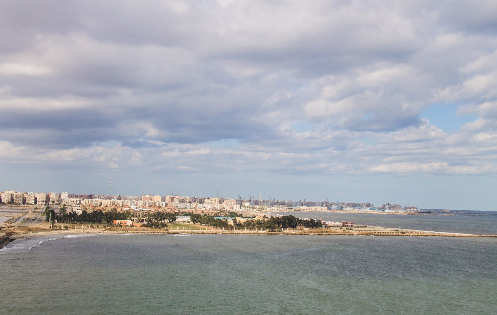
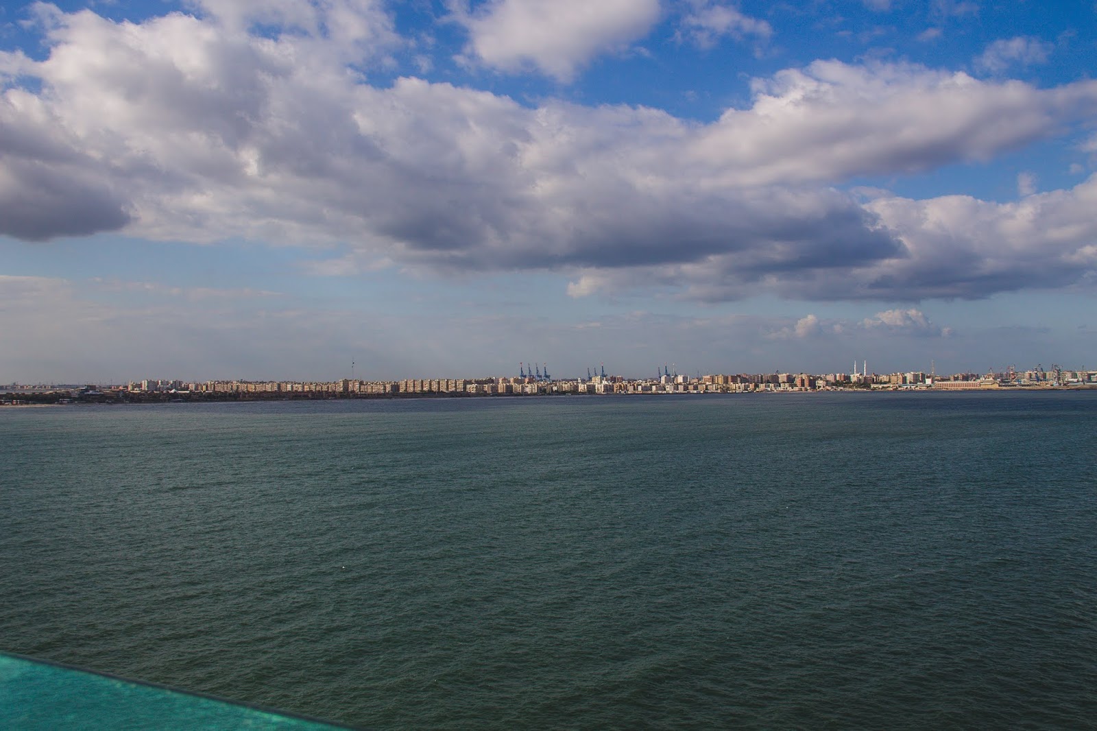
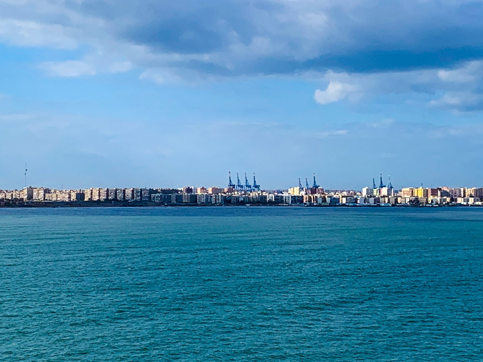
| Port Said – Entrance town to the canal |
It enables a more direct route for shipping between Europe and Asia without having to go around Africa. Basically, a shortcut. Apparently, it has been the center of conflict since it opened in 1869 due to the waterway being vital for international trade.
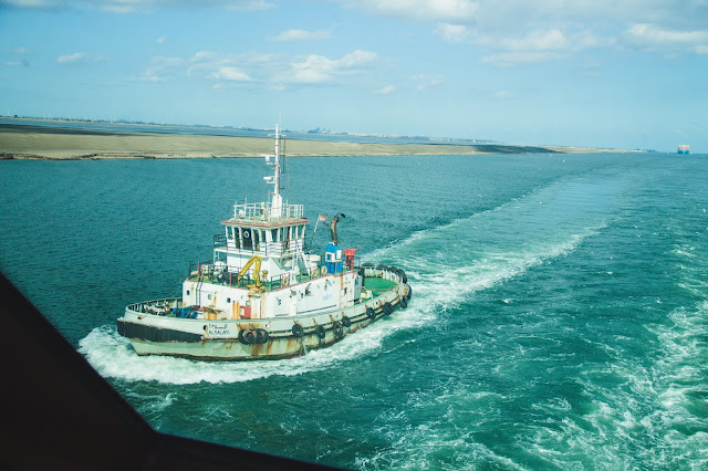 |
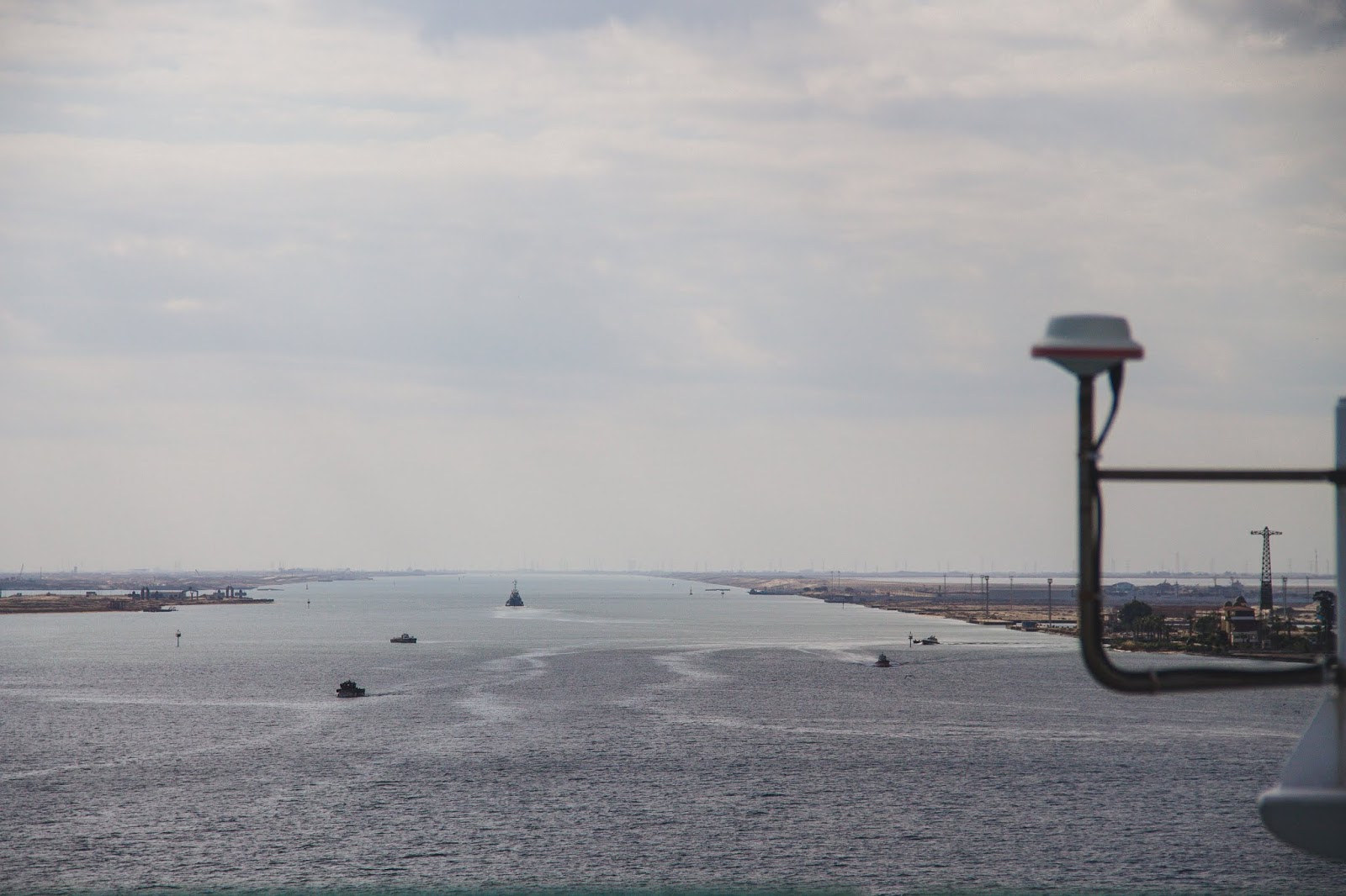
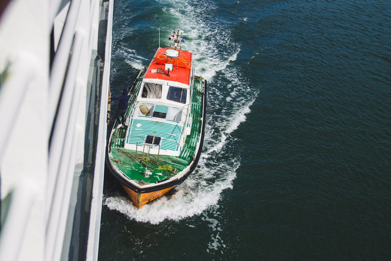
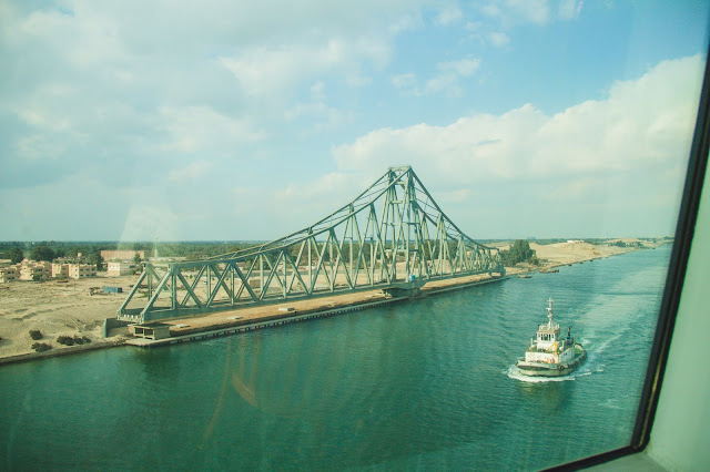
| This boat escorted us for quite some time. |
This can also explain some of our extra security measures among other places we will travel through. The length of the waterway is 119 miles of which 101 miles is constructed or built. Which also explains the reason for a dredger, that kept us from entering for 5-6 hours, that was broken down in the middle of the waterway.
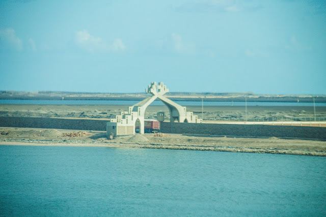 |
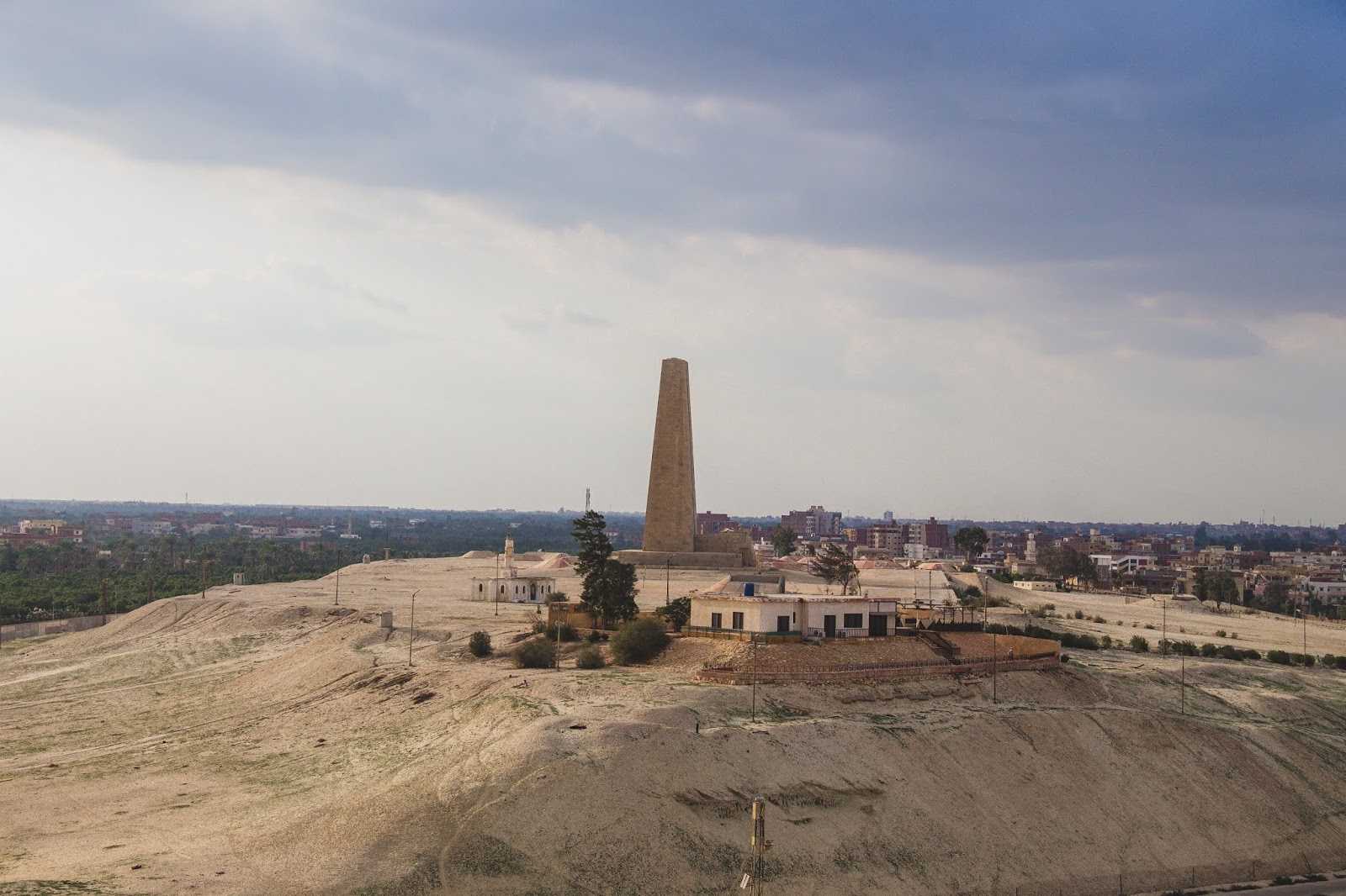
| Many monuments like these were along the canal on both sides. |
The canal will accommodate ships up to 240,000 tons and a 66 ft draft. Our speed was only about 8 knots per hour which is about 15 km/hr. Our trip though the canal was about 16 hours. One piece of historical record by the Suez Canal is the minor sea level difference and the flat terrain make it the longest canal without locks.
 |
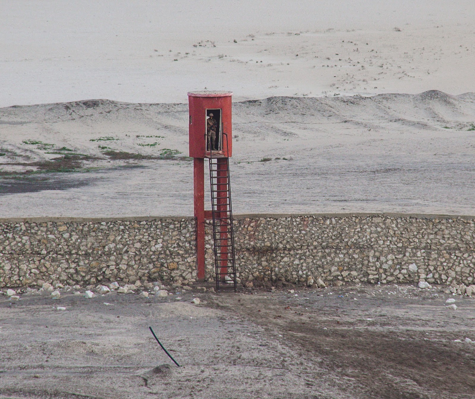
| Lookouts along the way with armed guards. |
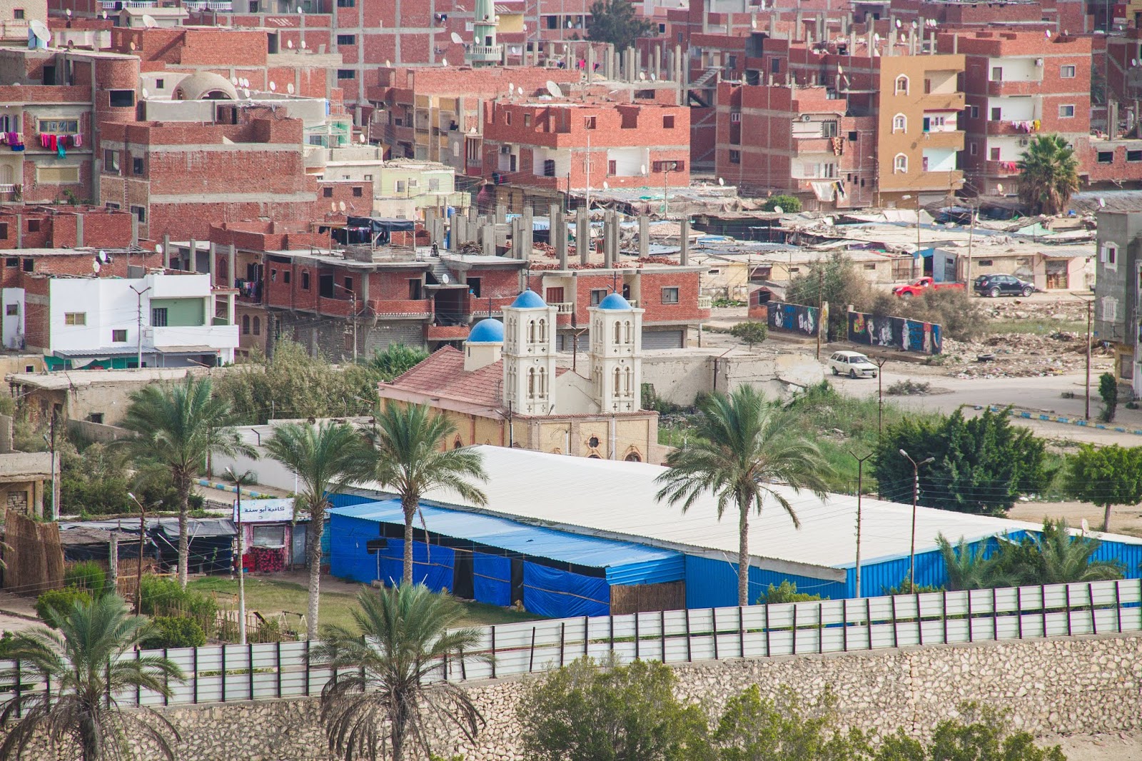
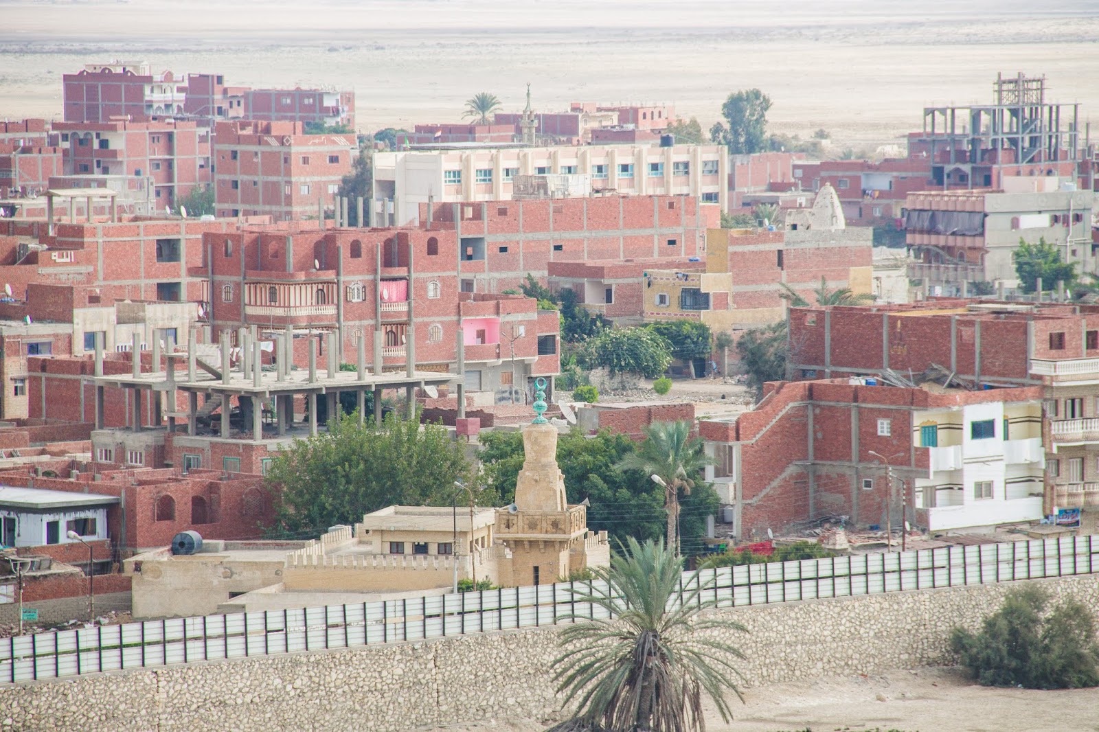
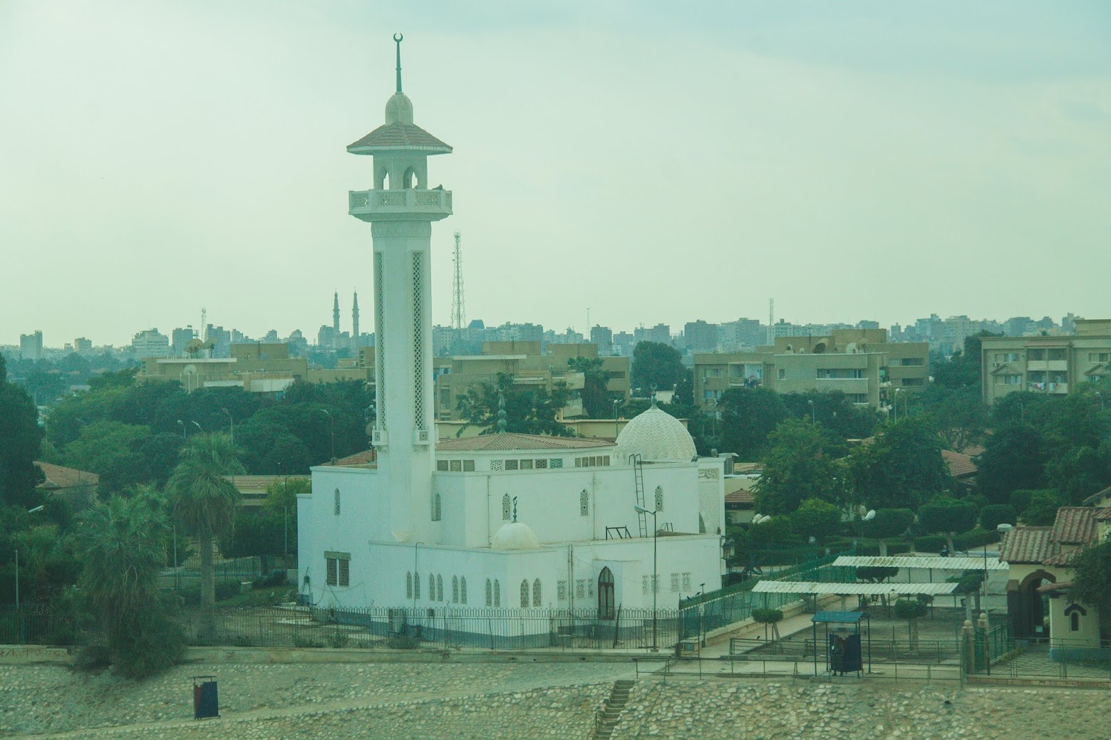
We entered the canal through Port Said, a city of about 6000 people that lies in north east Egypt along the coast of the Mediterranean Sea. Our first experiences were seeing the guard huts/shacks/posts along the waterway on the Israel side of the water and it was mostly desert.
 |
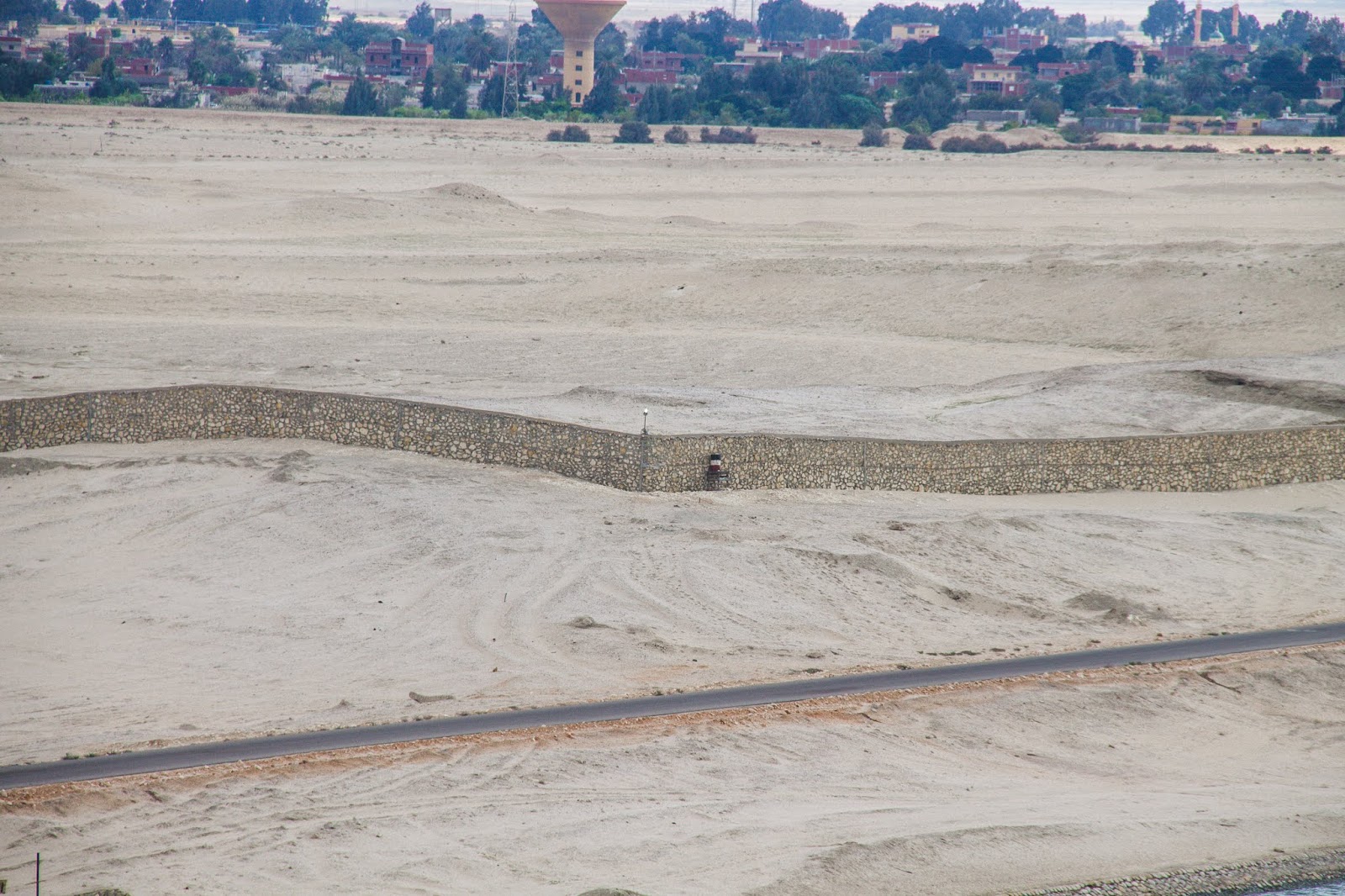
| A wall was built along the Israel side of the canal |
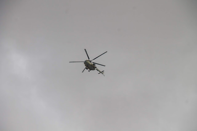 |
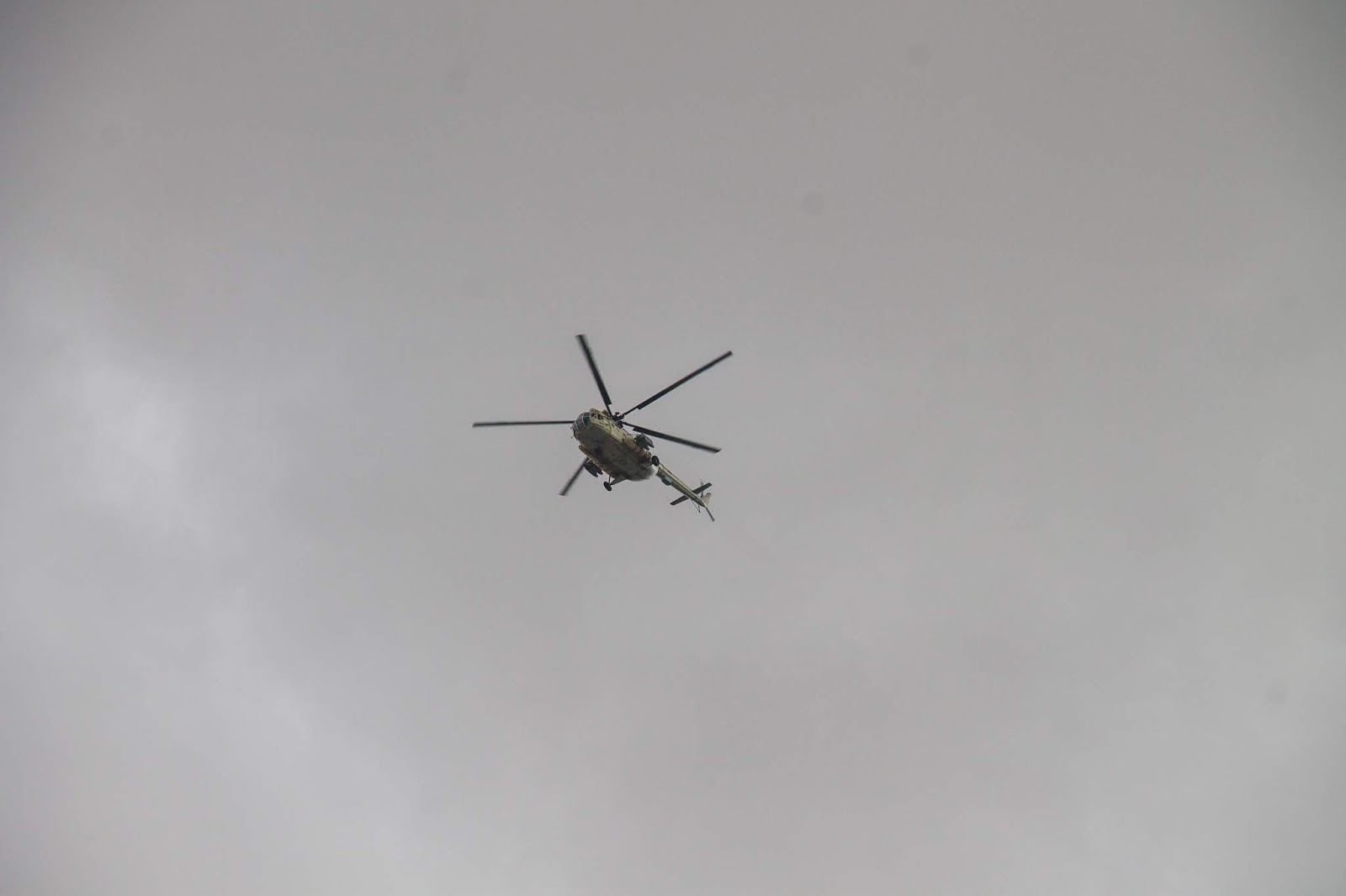
| We also had visitors in the air! |
LOTS of sand and very little greenery.
The right side of the water was Egypt. It had lush greenery, many houses and communities.
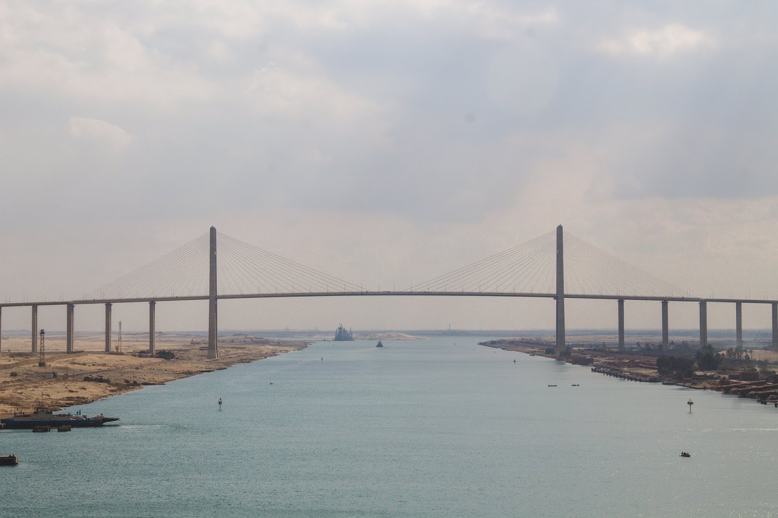
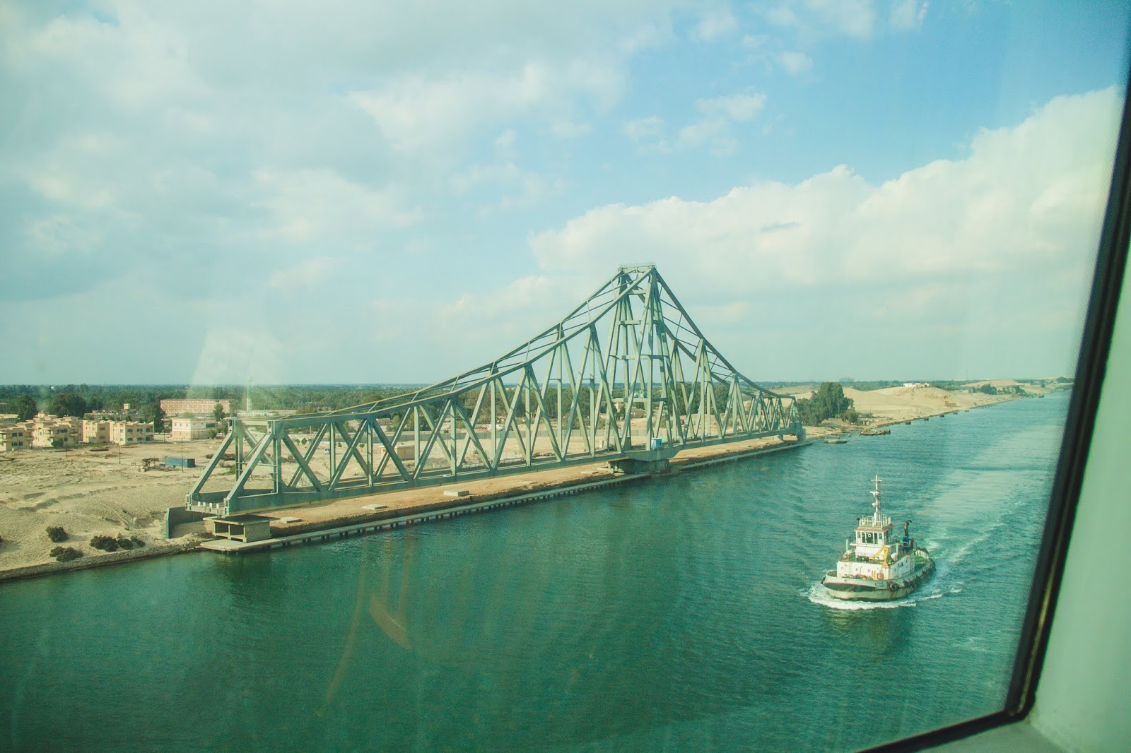
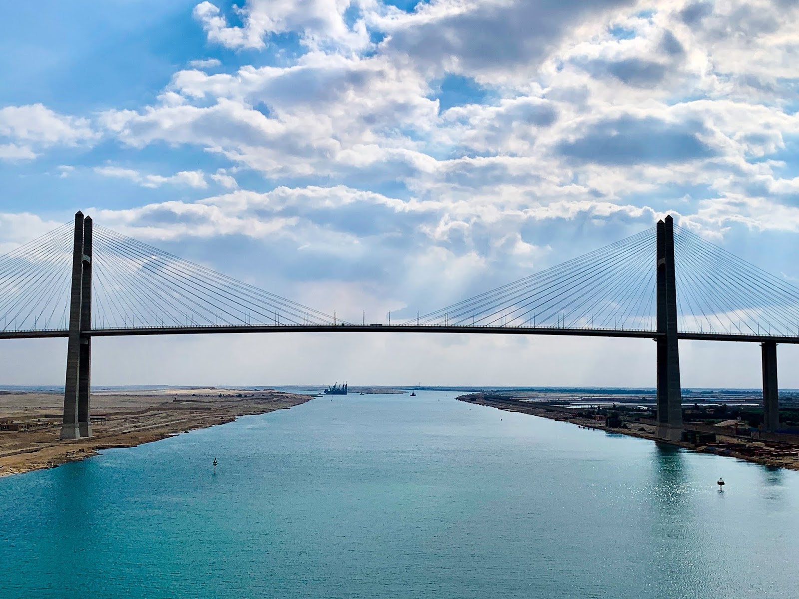
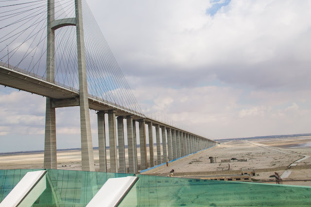
The first of 3 bridges we experienced was the Al Salam Bridge, also known as the Egyptian-Japanese Friendship Bridge.
 |
| The Egyptian side across the river was more upscale showing more money was used in construction. |
It crosses at El-Qantara, meaning “the bridge” in Arabic. The bridge links the continents of Africa and Asia. 60% of the construction cost (in 1995, 13.5 billion yen, in today’s USD that is $123 million to give you some perspective).
 |
| Al Salam Bridge |
 |
| Passing under the bridge |
Egypt bore the remaining costs of 9 billion yen/82 million USD. The bridge opened in 2001 and has a 230 ft clearance and is 2.4 miles long. In watching it, I knew it was long but not that long! Everyone clapped as we sailed under the bridge.
 |
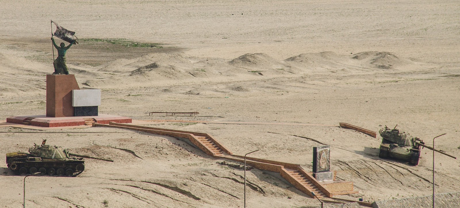
| Couldn’t locate much about this memorial other than two tanks in the desert. |
 |
| El Ferdan Railway Bridge |
Our next bridge was a swing bridge called El Ferdan Railway Bridge. It spans the western shipping lane of the Suez Canal near Ismailia, Egypt. It is the longest swing bridge in the world with a span of 1100 feet. Since the expansion of the canal, the swing bridge is no longer in use as the parallel shipping lane lacks a structure for spanning the wide area.
 |
| A mosque and the church below were built side by side along the canal. |
 |
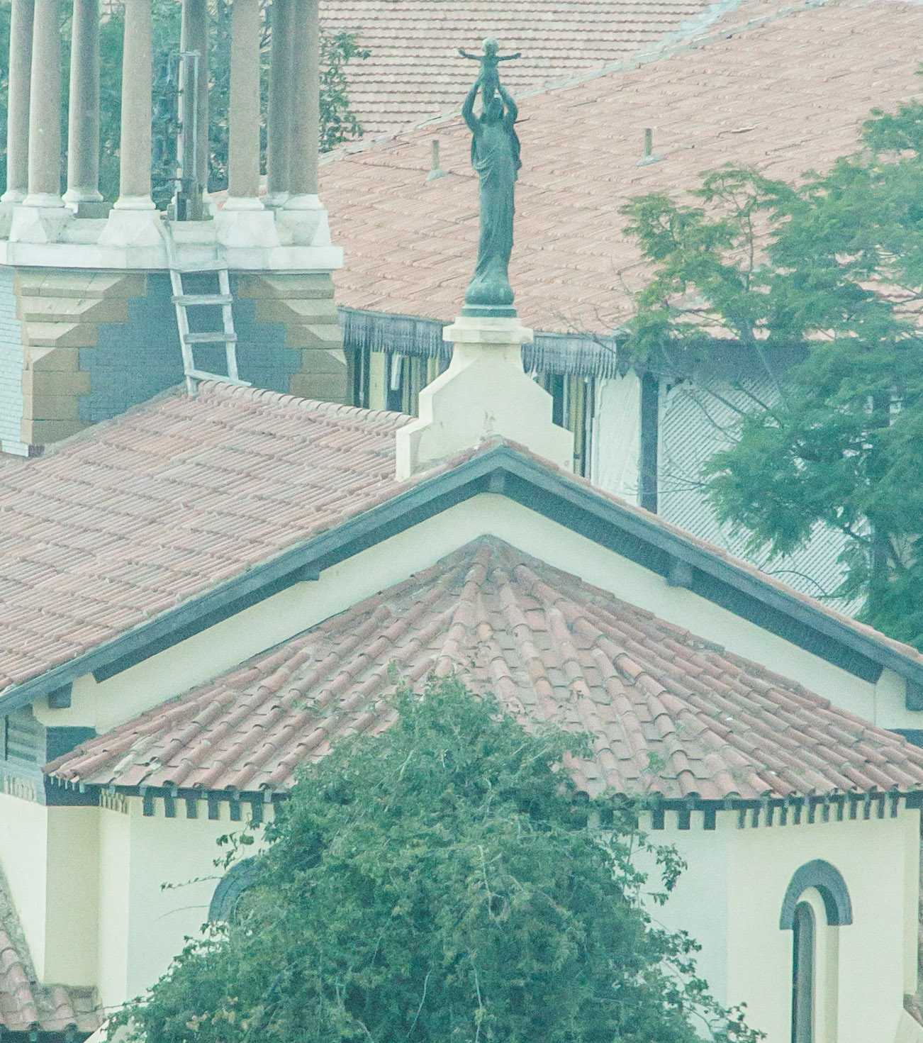
| We were told that this is a statue of baby Jesus being held up to the heavens. I have yet to find that in anything on the web. |
While we were sleeping we passed through Lake Timsah, also known as crocodile lake. Not sure any were out there but wasn’t going to stay up and look for any! We also passed through the Great Bitter lake in Egypt.
 |
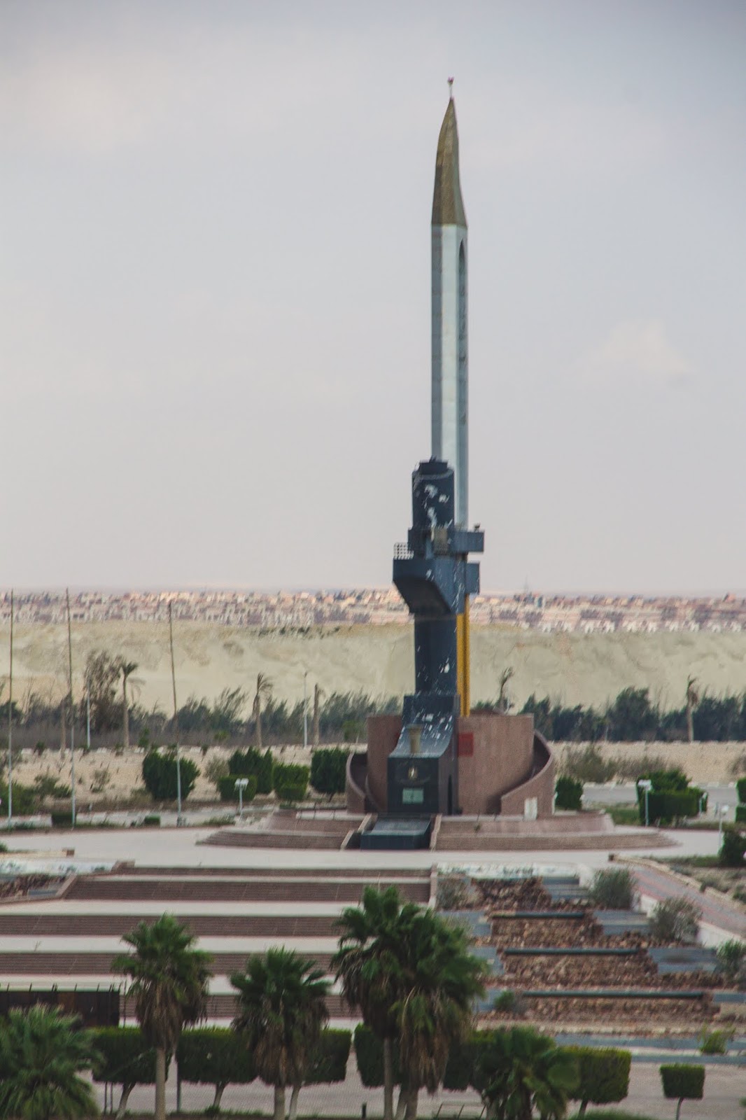
| The monument commemorates the Egyptians killed in the 1973 Yom Kippur War with Israel. |
 |
| Defense Monument at Ismalia Commemorating the Defense of the Canal against the Turkish during the Great War,1914 to 1918 |
This is a saltwater lake and is connected to the Mediterranean Sea and the Red Sea. Before the canal was built in 1869 the site was a dry salt valley. References to this lake are made in the ancient Pyramid Texts. Ships crossing though the canal use this area to pass other ships or turn around.
 |
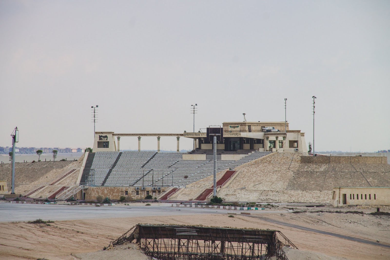
| We believe this was a stadium being built |
 |
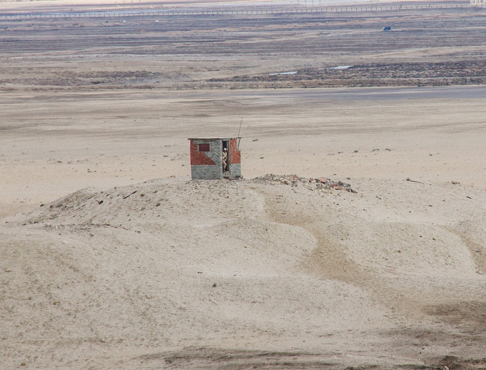
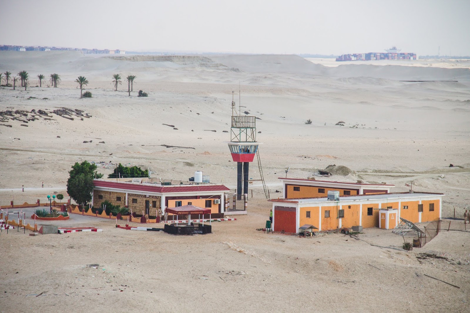
| Police or guard station. |
An overhead power line was built across the canal in 1998 near Suez, Egypt. It is designed for two 500 kV circuits. The overhead line has two 725 feet high pylons one on each side to hold its span across the canal. The pylons each have four cross arms: three for the conductors and one for catching the conductors in case of an insulator string failure.
 |
| Passing the first bridge on the Canal. |
A few interesting facts about the canal are: Its origins date back to ancient Egypt. The Egyptian Pharaoh Senusret III may have build an early canal connecting the Red sea and the Nile River around 1850 BC. In 1798, Napoleon Bonaparte considered building it. He sent surveyors to investigate the feasibility of cutting the Isthmus of Suez and building a canal from the Red Sea to the Mediterranean but his scouts incorrectly concluded that the Red Sea was at least 30 feet higher than the Mediterranean.
 |
|
They conclude that it would cause catastrophic flooding across the Nile Delta so the project was scrapped until 1847. The British Government we strongly opposed to its construction calling it a political scheme designed to undermine their dominance of global shipping. The British ambassador to France argued that supporting the canal would be a suicidal act and when the French diplomat “Lesseps” tried to sell shares in the canal company, British papers labeled the project “a flagrant robbery gotten up to despoil the simple people”.
Lesseps went on to engage in a public war of words with British PM Lord Palmerston and even challenged the railway engineer to a duel after he condemned the project in parliament. The British empire continued to condemn the building of the canal but eventually purchased a 44% stake in the waterway after the cash-strapped Egyptian government auctioned off its shares in 1875.
The most interesting was the Statue of Liberty was originally intended for the canal calling it “Egypt Bringing Light to Asia” but being it was a woman clothed in Egyptian peasant robes and holding a massive torch the project never materialized.
The same French sculpture Frederic-Auguste Vartholdi sold his idea in 1886 to light the New York harbor known as the Statue of Liberty.
The canal also played a critical role in the Cold War-era crises. In 1956, the Suez canal was the center of a brief war between Egypt and the combined forces of Britain, France and Israel. Many Egyptians resented the lingering colonial influence and tensions finally boiled over in July 1956, when Egyptian President Nasser nationalized the Suez Canal. An attack was launched on Egypt. The Europeans were winning but later withdrew from Egypt in disgrace following condemnation from the US and the threat of nuclear retaliation from the Soviet Union.
So, this is the history about the Suez Canal. I am sure it was information overload but there was so much too see and tell. Hopefully if it was too much, you at least enjoyed the photos.
May God bless you always!
Chuck & Lea Ann